01
High-precision GNSS
Multi-constellation RTK with centimeter-level accuracy for control survey, staking, and topographic mapping.

Maplays
GNSS RTK receivers and rugged field controllers — trusted by surveyors who need accuracy, speed, and reliable support.
Featured equipment
Four ready-to-deploy products for staking, topographic survey, and construction layout.
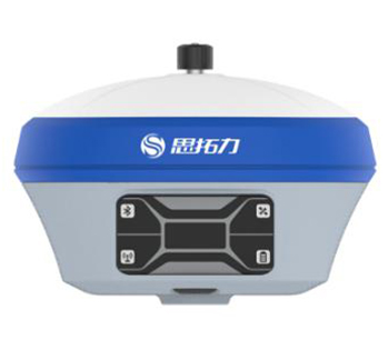
1520-channel receiver with 5 W radio, onboard display, and all-day battery for base and rover work.
View details →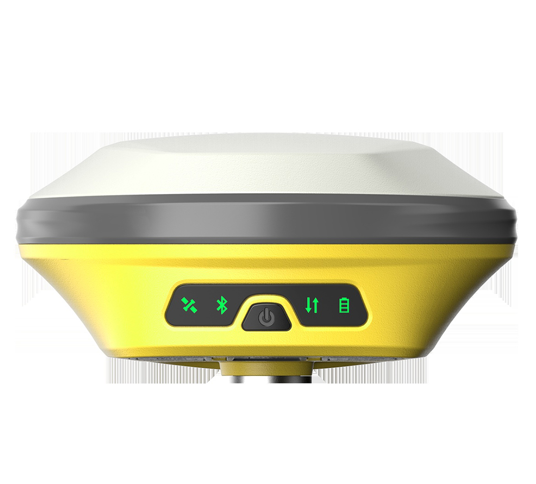
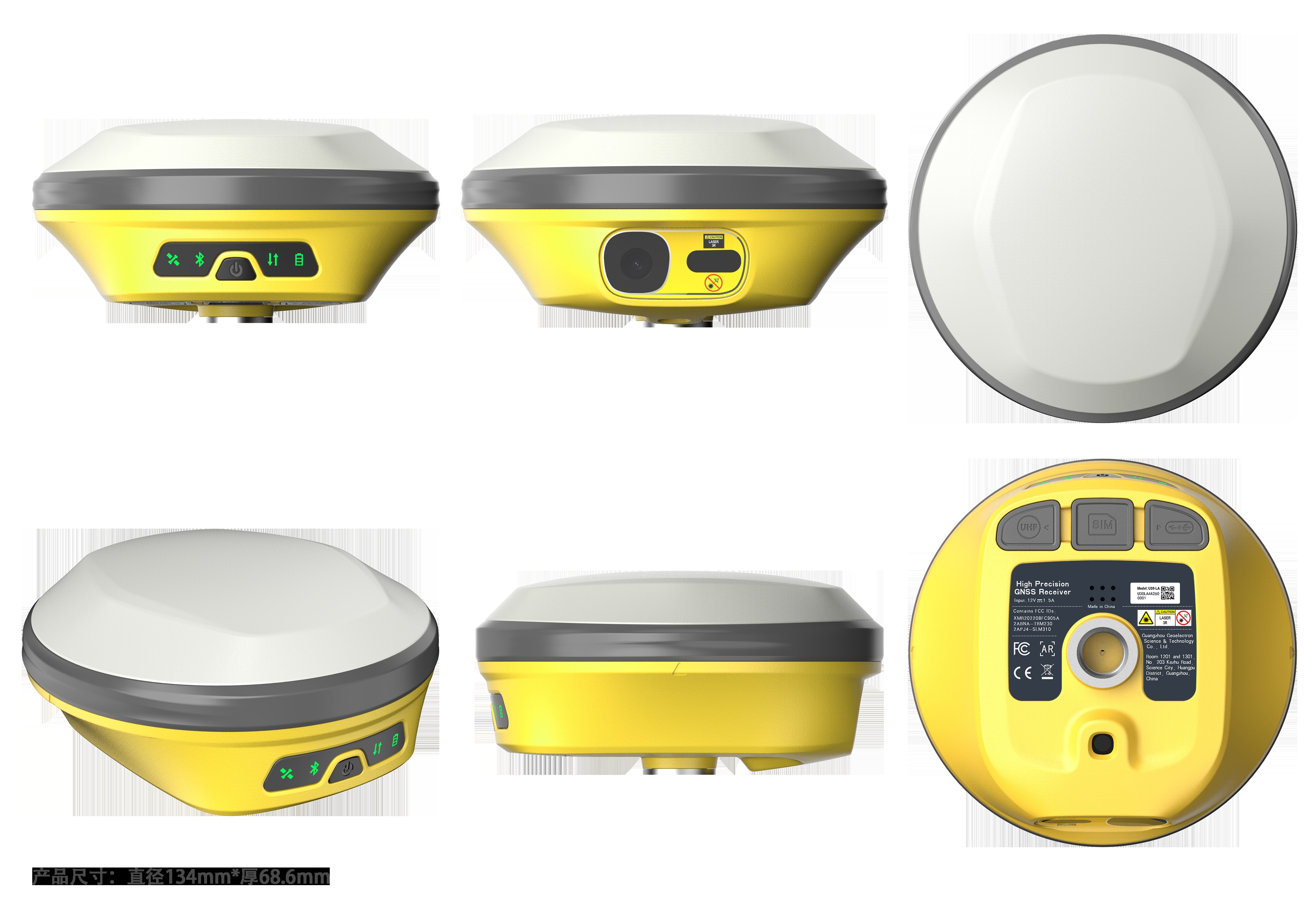
Dual-camera AR staking plus laser ranging — mark points faster on complex construction sites.
View details →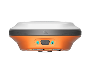
Compact MEMS tilt RTK with 2 W radio — light to carry, precise enough for daily survey tasks.
View details →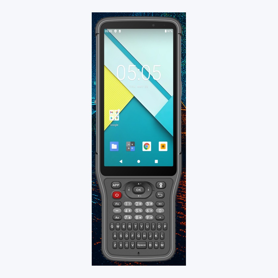
Android 14 handheld with sunlight-readable 6″ display, full keypad, and IP68 protection.
View details →Video
A quick look at Maplays surveying equipment — RTK receivers and field controllers built for real job sites.
Why Maplays
We combine product supply, technical guidance, and responsive service for international buyers and distributors.
01
Multi-constellation RTK with centimeter-level accuracy for control survey, staking, and topographic mapping.
02
IP67/IP68 housings, MEMS tilt, AR staking options, and long-life batteries designed for harsh job sites.
03
OEM-friendly supply and English technical documentation to help partners grow local surveying businesses.
About Maplays
Maplays is the surveying brand of Chengdu Dongying Surveying Instrument Co., Ltd. We gather leading GNSS and optical instrument resources to deliver sales, training, and technical support under one roof.
Our mission is simple: help every surveyor work with higher precision and less friction — on site and online.
Our StoryService presence across major Chinese cities, ready to support overseas partners with product knowledge and logistics coordination.
Tell us your market and preferred models — our team replies quickly.